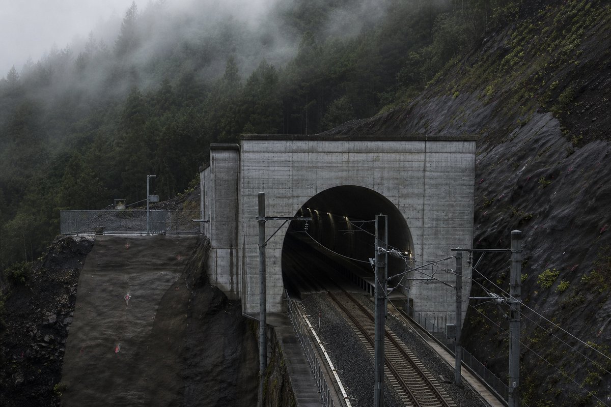
The table below lists 85 entries with a recorded length, each giving a name, a length in metres and, where documented, the year of opening. Lengths for Japan are recorded in metres which is how the operators publish them and why the shortest entry here reads as 1 001 m and not a rounded figure.
The median entry measures 2.03 km, so half the table sits below that and half above, which is a better guide to the typical structure here than the headline figure. The shorter half of the table totals 60.42 km against 102.88 km for the longer half, from the same number of rows.
The middle half of the table runs from 1.31 km to 2.3 km, and that band is where most of the engineering on this page actually sits. Between the longest and the tenth-longest the drop is 0.31 km, which is the part of the table that changes when a single scheme opens.
- 85entries listed
- 2.97 kmlongest bore
- 1956–2018openings span
- 163.3 kmtotal length
The record table
How this archive measures: lengths, bores, dates and ordering
| Tunnel | Length (m) | Date of opening | Prefec. | Notes | — |
|---|---|---|---|---|---|
| Orandazaka | 2 970 | Nagasaki-Dejima road | |||
| Shin Sasago | 2 953 | 1958 | |||
| Tsuruga 2 | 2 925 | 1980 | Hokuriku Expressway | ||
| Rotsukouzan | 2 843 | 1966 | |||
| Shin-Misaka | 2 778 | 1967 | |||
| Nitsusoku | 2 765 | 1978 | |||
| Imaziyoudaini | 2 704 | 1977 | Two tubes. Hokuriku Expressway | ||
| Kake-nishi | 2 690 | Shortest tube: 2674 m. Section Hiroshima kita-Togouchi. Chugoku Expressway | |||
| Nishi-Kuriko | 2 675 | 1966 | Two tubes. | ||
| Tawarazaka | 2 660 | Shortest tube: 2610 m Section Hokubo-Niimi. Chugoku Expressway . | |||
| Gassan-Dauchi | 2 620 | ||||
| Toosaka | 2 585 | 1976 | |||
| Nagasaki | 2 570 | NS | Section Nagasaki Susukizuka-Nagasaki. Nagasaki Expressway | ||
| Sengan | 2 544 | 1977 | |||
| Sennin | 2 528 | 1959 | |||
| Misayama | 2 511 | 1976 | |||
| Nishiyama | 2 470 | NS | Second tube: 2470 m. Section Kawahira-Nagasaki. Nagasaki bypass | ||
| Shin Wase | 2 435 | 08.2001 | KS | Longest tunnel in Amami Islands. Route 58 | |
| Hirayu | 2 400 | 1976 | |||
| Shinenoki | 2 370 | ||||
| Kuwadai | 2 305 | 1970 | |||
| Daitarou | 2 300 | Second tube: 2300 m. Section Amagase Takatsuka-Kusu. Oita Expressway | |||
| Kurokui | 2 290 | Section Oita Miyagawauchi-Usuki. Higashi Kyushu Expressway | |||
| Kyushin | 2 290 | Section Usuki-Tsukumi. Higashi Kyushu Expressway | |||
| Horikoshi | 2 282 | 1974 | |||
| Ziyuusangou | 2 252 | 1956 | |||
| Shin Toyohama | 2 228 | 12.2000 | HO | Setakamui and Toyohama tunnel + junction . Road 229 | |
| Shin Nihonzaka | 2 205 | 1978 | |||
| Aobayama | 2 200 | ||||
| Osakaho Sakishima | 2 200 | 12.1997 | OS | Second tube: 2200 m. Immersed tunnel | |
| Gongo-zan | 2 177 | Second tube: 2177 m. Section Moji-Shinmoji. Kyushu Expressway | |||
| Tama River | 2 170 | 21.12.1994 | FU | Second tube: 2170 m. Immersed tunnel, three lanes each. Tokyo Bay expressway (Bay-shore Route) | |
| Yoruhiru | 2 145 | 1970 | |||
| Kanmuriyama | 2 140 | Second tube: 2140 m. Section Yoshiwa-Muikaichi. Chugoku Expressway | |||
| Shin-Akamatsu | 2 140 | Section Hinagu-Tanora. Minami Kyushu Nishimawari expressway | |||
| Kuzs | 2 130 | ||||
| Oume | 2 095 | TO | Metropolitan Inter City Expressway | ||
| Shin Karato | 2 077 | 1998 | HY | Shortest tube: 2071 m. Hanshin (Kita - Kobe) expressway | |
| Yanoko | 2 076 | 1967 | |||
| Gamata | 2 060 | ||||
| Fudoyama | 2 050 | Shortest tube: 2010 m. Section Ureshino-Higashisonogi. Nagasaki Expressway | |||
| Nihonzaka | 2 045 | 1968 | Two tubes | ||
| Hachozan | 2 030 | Second tube: 2030 m. Section Yatsushiro-Hitoyoshi. Kyushu Expressway | |||
| Kobotoke | 2 002 | 1968 | |||
| Komadome | 2 000 | ||||
| Futabuyama | 2 000 | 2018 | HI | ||
| Futami | 1 940 | Section Hinagu-Tanora. Minami Kyushu Nishimawari expressway | |||
| Usuki | 1 920 | Section Oita Miyagawauchi-Usuki. Higashi Kyushu Expressway | |||
| Kawasaki Fairway | 1 954 | 21.12.1994 | KG | Second tube: 1954 m. Immersed tunnel, three lanes each (Bay-shore Route) | |
| Chiyoda | 1 900 | TO | Second tube: 1900 m. Three linked tunnels | ||
| Kihara | 1 900 | Second tube: 1900 m. Section Ebino-Kurino. Kyushu Expressway | |||
| Arimakita | 1 845 | 2003 | HY | Shortest tube: 1810 m. Hanshin Expressway. | |
| Awashima | 1 760 | Second tube: 1760 m. Section Yatsushiro-Hitoyoshi. Kyushu Expressway | |||
| Nakao | 1 700 | Section Nagasaki Tarami- Nagasaki Susukizuka. Nagasaki Expressway | |||
| Tenjin | 1 650 | Second tube: 1650 m. Section Miyakonojo-Tano. Miyazaki Expressway | |||
| Ubaguchi | 1 620 | 1972 | |||
| Kou Minatojima | 1 600 | 30.07.1999 | HY | Double deck configuration. Immersed tunnel (-22.73 m) | |
| Osa | 1 570 | Second tube:1570 m Section Hokubo-Niimi. Chugoku Expressway | |||
| Kuko - Kita | 1 487 | Second tube: 1487 m. Three lanes each. Immersed tunnel | |||
| Nakazato | 1 470 | NS | Section Nagasaki Tarami- Nagasaki Susukizuka. Nagasaki Expressway | ||
| Nagano | 1 430 | Second tube: 1430 m. Section Kitakyushu-Kanda-Kitakyushu. Higashi Kyushu Expressway | |||
| Yaesu | 1 400 | Second tube: 1400 m | |||
| Kuko - Kita Artif. | 1 353 | Second tube: 1353 m. Cut and cover | |||
| Tokyo Port | 1 325 | 12.08.1976 | TO | Second tube: 1325 m. Immersed tunnel, three lanes each | |
| Aina | 1 300 | HY | Second tube: 1300 m | ||
| Niimi | 1 300 | Second tube: 1300 m. Section Niimi-Tojo. Chugoku Expressway | |||
| Yatoyama | 1 270 | Second tube: 1270 m. Section Yufuin-Hiji. Oita Expressway | |||
| Hiroshima 4 | 1 256 | HI | Second tube: 1244 m. Hiroshima - Seifu Expressway | ||
| Shimizu | 1 243 | 1984 | Two tubes | ||
| Toyohama | 1 242 | HO | Partially destroyed by rock mass falling in 1996. Now part of Shin Toyohama tunnel | ||
| Sakazuki | 1 200 | YA | Yamagata highway | ||
| Ohirayama | 1 200 | Second tube: 1200 m. Section Yatsushiro-Hitoyoshi. Kyushu Expressway | |||
| Kishima | 1 200 | Second tube: 1200 m. Section Takeo Kitagata-Takeo. Nagasaki Expressway | |||
| Kashita | 1 190 | Section Usa-Innai. Higashi Kyushu Expressway | |||
| Shizouka | 1 180 | 03.2003 | SZ | New Tomei Expressway | |
| Hakka | 1 175 | 1967 | |||
| Takao | 1 170 | Shortest tube: ? m. Section Hokubo-Niimi. Chugoku Expressway | |||
| Kusumi | 1 170 | Second tube: 1170 m. Section Kitakyushu-Kanda-Kitakyushu. Higashi Kyushu Expressway | |||
| Kawasaki kou kaitei | 1 160 | KG | Second tube: 1160 m. Immersed tunnel, two lanes each | ||
| Shimizu 3 | 1 120 | 2003 | SZ | Second tube: 1120 m. New Tomei Expressway | |
| Shozinko | 1 080 | 1972 | |||
| Hagio | 1 060 | Second tube: 1060 m. Section Haki-Hita. Oita Expressway | |||
| Hira | 1 055 | HI | Shortest tube: 1040 m. Section Hiroshima kita-Togouchi. Chugoku Expressway | ||
| Nakahara | 1 020 | Second tube: 1020 m. Section Takata-Chiyoda. Chugoku Expressway | |||
| Funaba | 1 001 | HI | Shortest tube: 990 m. Section Hiroshima kita-Togouchi. Chugoku Expressway |
How this table is compiled
The three longest entries alone account for 8.85 km of the 163.3 km on this page, which is 5 per cent of the total from 3 of 85 rows. After the 1970s the next busiest decade here is the 1960s with 7 openings, so the building effort came in more than one wave.
Where one of these 85 lengths disagrees with an operator's own figure for Japan, the table keeps the published value and notes the difference instead of averaging the two. The 85 rows for Japan are ordered by length, not by date, so the 2018 opening sits well down the table without being any less current.
Dated entries run from 1956 to 2018, and the busiest decade is the 1970s with 13 recorded openings. The table on this page runs to 85 rows and records Tunnel, Length (m), Date of opening, Prefec. and Notes for each of them, which is the shape the original compiler chose rather than one imposed here.
A new scheme in Japan would have to beat 2.97 km to change the head of this table, and that is the figure worth rechecking when one opens. The longest entry is 3.0 times the shortest and 1.5 times the median, which is the quickest measure of how uneven the table is.
Dates for Japan refer to opening to traffic, not breakthrough, so the 1956 entry was under construction for some years before that. Laid end to end the entries on this page would run 163.3 km, which is a number with no engineering meaning but a useful sense of the scale of what is catalogued.
Reading the figures
The dated entries carry 22 distinct opening years across 62 years, and the median opening year is 1976. The material on this page is held in 45 captions rather than in running text, 364 words of it, each written against the image or row it belongs to by the compiler who put the page together.
Roughly 6 of the dated entries opened in this century, which is a rough measure of how much of the network is recent. The captions name 39 distinct places and structures — Expressway, Kyushu and Nagasaki among them — and those names are the index into the length tables where each is recorded with its own figure.
This page records the road tunnels catalogued for Japan in a tunnel almanac maintained at this address since the late 1990s. Only 36 of the 85 rows carry anything in the date of opening column, so that field describes a minority of this table and the rest of the rows are recorded without it.
Further down the table, Shin-Misaka is recorded at 2.78 km and Nitsusoku at 2.77 km. Read down the length (m) column, the 85 values run from 1 001 m to 2 970 m with a midpoint at 2 030 m; the spread rather than the maximum is what says how uneven this set is.
The entries sum to roughly 163.3 km of bore, an average of about 1.92 km each, though that average describes no actual row. Only 24 of the 85 rows carry anything in the prefec. column, so that field describes a minority of this table and the rest of the rows are recorded without it.
Questions about Japan
What is the longest road tunnel in Japan?
On the figures recorded here it is Orandazaka, at 2.97 km. It heads a table of 85 entries ordered by bore length, not by span, cost or construction difficulty.
How many road tunnels are listed for Japan?
85 entries with a recorded length appear on this page, from 1 km at the short end to 2.97 km at the top, with the middle of the set around 2.03 km.
How far back do the opening dates go?
The earliest dated entry opened in 1956 and the most recent in 2018, so this page covers 62 years across 22 distinct opening years. A date here is the opening to traffic, which on these 36 dated rows is one to two years after breakthrough.
What is a typical length among the road tunnels listed for Japan?
The median entry measures 2.03 km and the middle half of the table runs from 1.31 km to 2.3 km. The headline figure of 2.97 km is the outlier, not the norm, which is why the median is the more useful number when comparing one national list against another.
When were most of the road tunnels in Japan built?
The busiest decade recorded here is the 1970s, with 13 openings, then the 1960s with 7, and 6 of the dated entries opened from 2000 onwards. That is 36 per cent of the 36 dated rows in a single decade, which says as much about when the route was funded as about the engineering.
Other pages in this section
Cite this page
Road Tunnels in Japan — Complete List by Length. The World's Longest Tunnels. https://www.lotsberg.net/data/japan/list-2.html
Related record tables
- Road Tunnels in Bosnia and Herzegovina — 63 Listed by Length
- Road Tunnels in the United Kingdom — 53 Listed by Length
- Road Tunnels in the United States, Part 000
- Road Tunnels in the United States: Full List by Length
- Road Tunnels in Andorra — 6 Listed by Length
- Road Tunnels in Argentina — 8 Listed by Length
- Road Tunnels in Australia — 38 Listed by Length
- Road Tunnels in Austria, Part 000 — 183 Listed by Length
- Road Tunnels in Austria, Part 250 — 109 Listed by Length
- Road Tunnels in Austria, Part 500 — 100 Listed by Length
- Road Tunnels in Austria — 116 Listed by Length
- Road Tunnels in Belgium — 67 Listed by Length