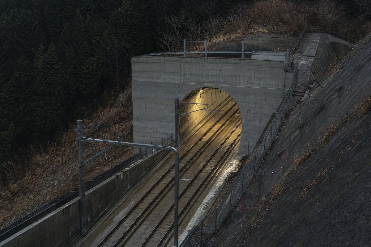
7 of those 16 are recorded as under construction or planned, the longest of them Naka Water Conveyance: Ishioka Tunnel Tsjuchiura Tunnel Mito tunnel at 24.5 km, so the count includes them while every measured figure — the range, the median, the total — describes the 9 rows carrying traffic today: an unopened bore cannot hold a record.
The table below lists 16 entries with a recorded length, each giving a name, a length in metres and, where documented, the year of opening. Lengths for Japan are recorded in metres which is how the operators publish them and why the shortest entry here reads as 2 000 m and not a rounded figure.
The median entry measures 2.56 km, so half the table sits below that and half above, which is a better guide to the typical structure here than the headline figure. After the 1980s the next busiest decade here is the 1990s with 2 openings, so the building effort came in more than one wave.
- 16entries listed
- 5.32 kmlongest bore
- 1975–1997openings span
- 27.09 kmtotal length
The record table
How this archive measures: lengths, bores, dates and ordering
| Tunnel | Length | Inner section | Method | Comment Year of opening |
|---|---|---|---|---|
| Naka Water Conveyance: Ishioka Tunnel Tsjuchiura Tunnel Mito tunnel | 24 500 m 11 600 m 6 800 m | 15.9 m 2 15.9 m 2 15.9 m 2 | Shield Shield Bore | Total 42 900 m Under construction Under construction Break through |
| North-Neya Underground River | 11 000 m | 23 - 82 m 2 | Shield | Under construction |
| Metropolitan Area Outer Discharge Channel | 6 300 m | 79 m 2 | Shield | Under construction |
| Katababira River Diversion | 5 320 m | 83 m 2 | Bore | 1997 |
| Hirano River Underground Regulation Pond | 4 800 m | 75 m 2 | Shield | Under construction |
| Kusaka River Diversion | 4 746 m | 40 m 2 | Bore cut/cover | 1982 |
| Kanda River Underground Regulation Pond | 2 000 m | 123 m 2 | Shield | Total 4 500 m Under construction |
| Nippa-Suehiro Main Sewerage | 4 435 m | 50 / 57 m 2 | Shield | Under construction |
| Outsu River Diversion | 4 053 m | 11.3 - 102 m 2 | Shield | Under construction |
| Chikusadai River | 3 293 m | 13.3 m 2 | Shield | 1975 |
| Tone Water Conveyance | 2 600 m | 12.6 m 2 | Shield | Break through |
| Kokubu River Diversion | 2 555 m | 42 m 2 | Bore | 1994 |
| Misaka River Diversion | 2 517 m | 38 m 2 | Bore | 1984 |
| Kataokagawa River Diversion | 2 063 m | 122 m 2 | Bore | 1980 |
| Gotanda River Diversion | 2 000 m | 59 m 2 | Shield | Break through |
| Imai River Underground Regulation Pond | 2 000 m | 102 m 2 | Shield | Break through |
How this table is compiled
The middle half of the table runs from 2.03 km to 4.02 km, and that band is where most of the engineering on this page actually sits. Between the longest and the tenth-longest the drop is 3.32 km, which is the part of the table that changes when a single scheme opens.
1 of the 9 measured entries exceed five kilometres, and those are the ones that carry a full ventilation and escape regime. Laid end to end the entries on this page would run 27.09 km, which is a number with no engineering meaning but a useful sense of the scale of what is catalogued.
Where one of these 9 lengths disagrees with an operator's own figure for Japan, the table keeps the published value and notes the difference instead of averaging the two. The 9 rows for Japan are ordered by length, not by date, so the 1997 opening sits well down the table without being any less current.
A new scheme in Japan would have to beat 5.32 km to change the head of this table, and that is the figure worth rechecking when one opens. The longest entry is 2.7 times the shortest and 2.1 times the median, which is the quickest measure of how uneven the table is.
Dated entries run from 1975 to 1997, and the busiest decade is the 1980s with 3 recorded openings. The material on this page is held in 5 captions rather than in running text, 46 words of it, each written against the image or row it belongs to by the compiler who put the page together.
Reading the figures
Roughly 0 of the dated entries opened in this century, which is a rough measure of how much of the network is recent. The captions name 6 distinct places and structures — Water, Conveyance and Ishioka among them — and those names are the index into the length tables where each is recorded with its own figure.
The table on this page runs to 16 rows and records Tunnel, Length, Inner section, Method and Comment Year of opening for each of them, which is the shape the original compiler chose rather than one imposed here. Tunnel building in Japan is shaped by geology and settlement pattern as much as by transport policy.
The longest entry is Katababira River Diversion, at 5.32 km, opened in 1997. A tunnel list for Japan reads differently from a neighbouring country's: 3 of these 9 structures pass three kilometres, and the same journey time is bought with one long bore in one country and a dozen short ones in another.
The entries sum to roughly 27.09 km of bore, an average of about 3.01 km each, though that average describes no actual row. The three longest entries alone account for 13.36 km of the 27.09 km on this page, which is 49 per cent of the total from 3 of 9 rows.
The shortest recorded entry is 2 km against 5.32 km at the top, a spread of 2.66x across the same table. The tunnel column names 16 distinct entries on this page, North-Neya Underground River and Katababira River Diversion among them, each traceable to the operator or administration record it was taken from.
Questions about Japan
What is the longest structure in Japan?
On the figures recorded here it is Katababira River Diversion, at 5.32 km, opened in 1997. It heads a table of 16 entries ordered by bore length, not by span, cost or construction difficulty.
How many structures are listed for Japan?
16 entries with a recorded length appear on this page, of which 9 carry traffic today and 7 are under construction or planned. The 9 in service run from 2 km at the short end to 5.32 km at the top, with the middle of the set around 2.56 km.
How far back do the opening dates go?
The earliest dated entry opened in 1975 and the most recent in 1997, so this page covers 22 years across 6 distinct opening years. A date here is the opening to traffic, which on these 6 dated rows is one to two years after breakthrough.
What is a typical length among the structures listed for Japan?
The median entry measures 2.56 km and the middle half of the table runs from 2.03 km to 4.02 km. The headline figure of 5.32 km is the outlier, not the norm, which is why the median is the more useful number when comparing one national list against another.
When were most of the structures in Japan built?
The busiest decade recorded here is the 1980s, with 3 openings, then the 1990s with 2, and 0 of the dated entries opened from 2000 onwards. That is 50 per cent of the 6 dated rows in a single decade, which says as much about when the route was funded as about the engineering.
Other pages in this section
Cite this page
Aqueduct and Water Conveyance Tunnels in Japan, Ranked by Length. The World's Longest Tunnels. https://www.lotsberg.net/data/japan/aquaduct.html
Related record tables
- BART Tunnels and Tubes in the San Francisco Bay Area
- The Salang Tunnel in Afghanistan: Road and Galleries
- The Perisher Blue Skitube: a Rack Railway in Australia
- Tunnels and Viaducts on the A8 Motorway in France
- Tunnels and Viaducts on the A43 Motorway in France
- Structures on the A51 Motorway in France
- Der Alte Elbtunnel: the Old Elbe Tunnel in Hamburg
- The Mont Blanc Tunnel on the Day of Reopening, 2002
- Structures on the SS 125 var in Sardinia, Italy
- The Furlo Tunnel in Italy: Portals and Photographs
- Road Tunnels in Japan — 85 Listed by Length
- Road Tunnels in Japan — 64 Listed by Length