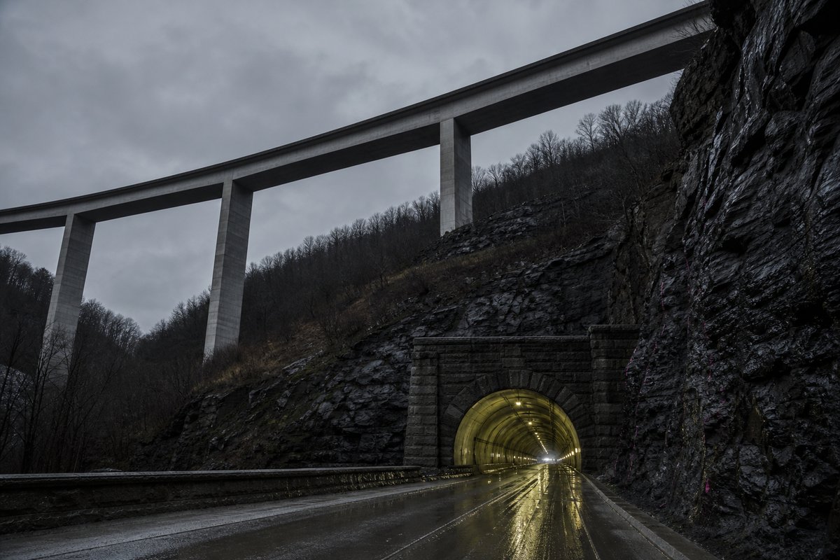
This page records the bridges and viaducts catalogued for the United States in a tunnel almanac maintained at this address since the late 1990s. The median entry measures 2.44 km, so half the table sits below that and half above, which is a better guide to the typical structure here than the headline figure.
Roughly 9 of the dated entries opened in this century, which is a rough measure of how much of the network is recent. Lengths for the United States are recorded in metres which is how the operators publish them and why the shortest entry here reads as 1 030 m and not a rounded figure.
The middle half of the table runs from 1.44 km to 3.61 km, and that band is where most of the engineering on this page actually sits. Between the longest and the tenth-longest the drop is 33.27 km, which is the part of the table that changes when a single scheme opens.
- 77entries listed
- 38.42 kmlongest bore
- 1883–2006openings span
- 267.36 kmtotal length
The record table
How this archive measures: lengths, bores, dates and ordering
| Bridge/Viaduct | Length (m) | Date of opening | State | Notes | Road |
|---|---|---|---|---|---|
| Lake Pontchartrain Causeway | 38 422 | 1969 | LA | World's longest | |
| San Mateo-Hayward | 11 300 | 1967 | CA | SR92 | |
| Seven Mile | 11 265 | 1982 | FL | Overseas highway | US1 |
| McCarthy Memorial | 8 851 | 1956 | CA | Richmond-San Rafael, Max. Span: 326 m | I-580 |
| Sunshine skyway | 8 851 | 1987 | FL | Tampa Bay | I-275 |
| Mackinac Strait | 8 038 | 1957 | MI | Span: 1158 m | I-75 |
| Preston Lane Memorial | 6 491 | 1953 | MD | Opposite bridge built in 1973. Cheasapeake Bay | US50-301 |
| Albemarle Sound | 5 633 | NC | 17 | ||
| Monitor-Merrimac Memorial | 5 150 | 30.04.1992 | VA | Opposite bridge: 5150 m | I-664 |
| Buckman | 5 150 | FL | Jacksonville | I-295 | |
| Wilson (Tappan Zee) | 4 881 | 15.12.1955 | NY | I-87 I-287 | |
| Lindsay C. Warren | 4 827 | 1962 | NC | Alligator river | US64 |
| International | 4 480 | 31.10.1962 | MI | Border USA-Canada | |
| Commodore Barry | 4 240 | 01.02.1974 | PA-NJ | ||
| Baytown/Fred Hartman | 4 180 | 1994 | TX | Galveston Bay | |
| Verrazano Narrow | 4 180 | 1965 | NY | Span: 1298 m | |
| Mississippi (Grenville) | 4 025 | 2005 | MS | Main span: 420 m | US82 |
| Cooper | 4 023 | SC | Cable stayed. Will replace Grace Mem. and S. Pearman bridges, in Charleston | US17 | |
| Long Key | 3 670 | FL | Overseas Highway | ||
| Alaskan Way | 3 541 | 1953 | WA | City Seattle, will be replaced by tunnel in 2009 | SR99 |
| Bay Bridge East | 3 505 | 2005 | CA | ||
| Claiborne Pell (Newport) | 3 428 | 1969 | RI | 138 | |
| Napoleon Bonaparte Broward | 3 218 | 1989 | FL | ||
| Delaware Memorial | 3 202 | 1951 | DE-NJ | Opposite bridge: 3202 m (1968) | I-295 |
| Chowan | 3 200 | NC | 17 | ||
| Oakland-Bay-Bridge (West) | 3 185 | 1937 | CA | ||
| Lake Ray Hubbard | 3 133 | 2003 | TX | Opposite (eastbound) bridge: 1329 m | US66 |
| Maumee | 2 774 | 2006 | OH | I280 | |
| Golden Gate | 2 737 | 1937 | CA | Span: 1280 m | |
| Bayonne | 2 633 | 15.11.1931 | NY-NJ | ||
| Dumbarton | 2 622 | 1984 | CA | SR84 | |
| Goethals | 2 621 | 29.06.1928 | NY-NJ | ||
| Betsy Ross | 2 586 | 1976 | PA-NJ | Delaware river, Philadelphia-Pennsauken | |
| Francis Scott Key | 2 575 | 1978 | MD | ||
| Neuse | 2 550 | 02.11.2000 | NC | ||
| Bong R. Memorial | 2 500 | 25.10.1984 | WI-MN | US2 | |
| Franklin | 2490 | 01.07.1926 | PA-NJ | I-676 | |
| Ambassador | 2 485 | 1929 | MI | Border USA-Canada | I-75 |
| Columbia | 2 438 | 1976 | WA | River Columbia | |
| Blatnik | 2 431 | 02.12.1961 | WI-MN | I-535 | |
| Lacey Murrow | 2 377 | 1940 | WA | Floating bridge | I-90 |
| Kingston-Rhinecliff | 2 375 | 1957 | |||
| Homer Hadley | 2 370 | 1989 | WA | Floating bridge | |
| Evergreen Point | 2 310 | 08.08.1963 | WA | SR520 | |
| Williamsburg | 2 225 | 19.12.1903 | NY | East RIver | |
| Bronx Whitestone | 2 174 | 1939 | NY | ||
| Hood Canal | 2 173 | 1961 | WA | ||
| Manhattan | 2 089 | 1909 | NY | ||
| Bahia Honda | 2 053 | FL | Overseas Highway | US1 | |
| Walt Whitman | 2 003 | PA-NJ | River Delaware | I-76 | |
| Gold Star Memorial | 1 945 | 1973 | CT | Opposite bridge: 1808 m (1943). City New London | I-95 |
| Benicia-Martinez | 1 896 | 1962 | CA | I-680 | |
| Blue Water | 1 883 | 10.10.1938 | MI | Second bridge: 1862 m (22.07.1997). Border USA-Canada | I-69 I-94 |
| Hampton Roads South | 1 875 | 01.11.1957 | VA | Opposite bridge: 991 m (1976) | I-64 |
| Mount Hope | 1 868 | 1929 | RI | 24 | |
| Peace | 1 768 | 07.08.1927 | NY | Border USA- Canada | |
| Washington | 1 451 | 25.10.1931 | NY-NJ | Span: 1066 m | I95 |
| McClugage | 1 448 | 1949 | IL | Peoria | 24/150 |
| Clarey | 1 432 | 1998 | HI | Pearl Harbor | |
| Chesapeake & Delaware Canal | 1 417 | 1995 | DE | I-1 | |
| Channel 5 | 1 396 | FL | Overseas Highway | US1 | |
| Bayview | 1 385 | 1986 | IL | River Mississippi | I67 |
| Susquehanna | 1 380 | PA | River Allegheny | I-76 | |
| William Natcher | 1 375 | 10.2002 | KY-IN | River Ohio. Maceo-Rockport | US231 |
| Nile Channel | 1 369 | FL | Overseas Highway | US1 | |
| Clark | 1 298 | 1994 | IL-MO | River Mississippi | US367-67 |
| North Grand Island | 1 239 | 18.12.1964 | NY | Opposite bridge: 1228 m (1935) | I-190 |
| Gil Hodges Memorial | 1 226 | 03.07.1937 | NY | New York City | |
| Jefferson Barracks | 1 219 | 1983 | IL-MO | River Mississippi | I-255 |
| Chesapeake-North Channel (northbound) | 1 158 | 15.04.1964 | VA | Chesapeake Bay Bridge | US13 |
| Emerson memorial (Cape Girardeau) | 1 154 | 13.12.2003 | IL-MO | River Mississippi | |
| Queensboro | 1 135 | 1909 | NY | New York City | 25 |
| Mississippi (Schwaber) | 1 127 | IL-IA | |||
| James river | 1 116 | 09.2002 | VA | US17 | |
| Alfred Zampa Memorial (New Carquinez Strait) | 1 060 | 08.11.2003 | CA | Span: 728 m | I-80 |
| Brooklyn | 1 053 | 1883 | NY | ||
| Spanish Harbor | 1 030 | FL | Overseas Highway | US1 |
How this table is compiled
The shortest recorded entry is 1.03 km against 38.42 km at the top, a spread of 37.30x across the same table. The three longest entries alone account for 60.99 km of the 267.36 km on this page, which is 23 per cent of the total from 3 of 77 rows.
Where one of these 77 lengths disagrees with an operator's own figure for the United States, the table keeps the published value and notes the difference instead of averaging the two. Dates for the United States refer to opening to traffic, not breakthrough, so the 1883 entry was under construction for some years before that.
10 of the 77 measured entries exceed five kilometres, and those are the ones that carry a full ventilation and escape regime. Laid end to end the entries on this page would run 267.36 km, which is a number with no engineering meaning but a useful sense of the scale of what is catalogued.
A new scheme in the United States would have to beat 38.42 km to change the head of this table, and that is the figure worth rechecking when one opens. The shorter half of the table totals 62.28 km against 205.08 km for the longer half, from the same number of rows.
The 77 rows for the United States are ordered by length, not by date, so the 2006 opening sits well down the table without being any less current. Eighth on the list is Albemarle Sound at 5.63 km, which is where the table stops being about record holders and starts being about ordinary infrastructure.
Reading the figures
Dated entries run from 1883 to 2006, and the busiest decade is the 1960s with 12 recorded openings. The material on this page is held in 7 captions rather than in running text, 57 words of it, each written against the image or row it belongs to by the compiler who put the page together.
The longest stands 27.12 km clear of the next longest, which is the margin to watch when a new scheme is announced. The captions name 10 distinct places and structures — Rafael, Grace and Charleston among them — and those names are the index into the length tables where each is recorded with its own figure.
After the 1960s the next busiest decade here is the 2000s with 9 openings, so the building effort came in more than one wave. The bridge/viaduct column names 77 distinct entries on this page, Lake Pontchartrain Causeway and San Mateo-Hayward among them, each traceable to the operator or administration record it was taken from.
The table on this page runs to 77 rows and records Bridge/Viaduct, Length (m), Date of opening, State and Notes for each of them, which is the shape the original compiler chose rather than one imposed here. A long viaduct on modest piers can therefore outrank a shorter but far more dramatic single-span crossing.
Bridges and viaducts are listed by total deck length, not by main span. A tunnel list for the United States reads differently from a neighbouring country's: 27 of these 77 structures pass three kilometres, and the same journey time is bought with one long bore in one country and a dozen short ones in another.
Questions about the United States
What is the longest bridge in the United States?
On the figures recorded here it is Lake Pontchartrain Causeway, at 38.42 km, opened in 1969. It heads a table of 77 entries ordered by bore length, not by span, cost or construction difficulty.
How many bridges and viaducts are listed for the United States?
77 entries with a recorded length appear on this page, from 1.03 km at the short end to 38.42 km at the top, with the middle of the set around 2.44 km.
How far back do the opening dates go?
The earliest dated entry opened in 1883 and the most recent in 2006, so this page covers 123 years across 44 distinct opening years. A date here is the opening to traffic, which on these 65 dated rows is one to two years after breakthrough.
What is a typical length among the bridges and viaducts listed for the United States?
The median entry measures 2.44 km and the middle half of the table runs from 1.44 km to 3.61 km. The headline figure of 38.42 km is the outlier, not the norm, which is why the median is the more useful number when comparing one national list against another.
When were most of the bridges and viaducts in the United States built?
The busiest decade recorded here is the 1960s, with 12 openings, then the 2000s with 9, and 9 of the dated entries opened from 2000 onwards. That is 18 per cent of the 65 dated rows in a single decade, which says as much about when the route was funded as about the engineering.
Other pages in this section
Cite this page
Bridges and Viaducts in the United States by Deck Length. The World's Longest Tunnels. https://www.lotsberg.net/data/USA/bru.html
Related record tables
- BART Tunnels and Tubes in the San Francisco Bay Area
- Road Tunnels in the United States, Part 000
- Road Tunnels in the United States: Full List by Length
- Railway Tunnels in the United States — 5 Listed by Length
- Bridges and Viaducts in Denmark — 44 Listed by Length
- Bridges and Viaducts in France — 42 Listed by Length
- Bridges and Viaducts in Italy — 345 Listed by Length
- Bridges and Viaducts in Italy — 219 Listed by Length
- Bridges and Viaducts in Italy — 239 Listed by Length
- Bridges and Viaducts in Norway — 58 Listed by Length
- Bridges and Viaducts in Norway — 59 Listed by Length
- Bridges and Viaducts in Austria — 57 Listed by Length