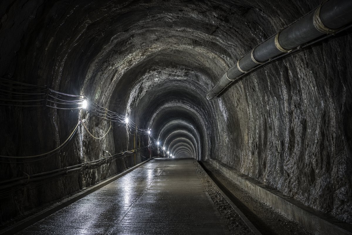
Norway dominates the deep end of the list because its fjords are deep and its road network has to cross them, not because Norwegian practice favours depth. Subaqueous tunnels are governed by rock cover above the bore rather than by the depth of water above that, which is why depth and length are separate records.
Depth is the figure that makes this class distinctive, and it is the one almost always dropped when these tunnels are listed elsewhere by length alone. The fires at Mont Blanc, in the Tauern and in the Gotthard between 1999 and 2001 rewrote European tunnel safety, and every structure opened since reflects that.
Spoil from a long bore is a civil work of its own, and outside several alpine portals it has become a permanent landform. Class conventions differ, so like is compared with like. An immersed tube is built on land and sunk into a dredged trench, so its length is fixed before it reaches the water.
- 44entries listed
The cross-sections
Cross-sections drawn to a common scale from the depths recorded in this archive. The low point of each profile is the published figure; the shape between the portals is schematic.
How this archive measures: lengths, bores, dates and ordering
| Tunnel | Country | Length | Lowest point | Opened |
|---|---|---|---|---|
| Rogfast | Norway | 26.7 km | -390 m | u.c. 2033 |
| Ryfylke | Norway | 14.46 km | -292 m | 30.12.2019 |
| Eiksund | Norway | 7.8 km | -287 m | 23.02.2008 |
| Hitra | Norway | 5.65 km | -264 m | 08.12.1994 |
| Bømlafjord | Norway | 7.93 km | -262 m | 28.12.2000 |
| Atlanterhav | Norway | 5.73 km | -245 m | 19.12.2009 |
| Byfjord | Norway | 5.88 km | -223 m | 30.11.1992 |
| Eysturoy | Faroe Islands | 11.24 km | -187 m | 19.12.2020 |
| Hvalfjarðargöng | Iceland | 5.77 km | -165 m | 11.07.1998 |
| Frøya | Norway | 5.31 km | -164 m | 23.06.2000 |
| Sandoy | Faroe Islands | 10.8 km | -155 m | 21.12.2023 |
| Godøy | Norway | 3.84 km | -153 m | 1988 |
| Nordkapp | Norway | 6.88 km | -150 m | 15.06.1999 |
| Nordoyatunnilin | Faroe Islands | 6.1 km | -150 m | 29.04.2006 |
| Finnøy | Norway | 5.77 km | -150 m | 30.10.2009 |
| Ellingsøy | Norway | 3.52 km | -144 m | 1987 |
| Halsnøy | Norway | 4.12 km | -138 m | 08.03.2008 |
| Valderøy | Norway | 4.22 km | -137 m | 1987 |
| Oslofjord | Norway | 7.39 km | -134 m | 29.06.2000 |
| Karmøy | Norway | 7.74 km | -133 m | 05.09.2013 |
| Mastrafjord | Norway | 4.42 km | -132 m | 30.11.1992 |
| Freifjord | Norway | 5.09 km | -130 m | 1992 |
| Bjarkøy | Norway | 3.29 km | -127 m | 2017 |
| Hvaler | Norway | 3.75 km | -120 m | 1989 |
| Sløverfjord | Norway | 3.34 km | -120 m | 1997 |
| Ibestad | Norway | 3.4 km | -112 m | 02.12.2000 |
| Eurasia | Turkey | 5.4 km | -106 m | 2015 |
| Vágatunnilin | Faroe Islands | 4.94 km | -104 m | 10.12.2002 |
| Tromsøysund | Norway | 3.5 km | -102 m | 3.12.1994 |
| Fannefjord | Norway | 2.74 km | -101 m | 1990 |
| Flekkerøy | Norway | 2.33 km | -101 m | 1989 |
| Vardø | Norway | 2.89 km | -88 m | 1982 |
| Bjorøy | Norway | 2.01 km | -88 m | 1996 |
| Rya | Norway | 2.66 km | -87 m | 29.09.2011 |
| Xiang-an | China | 6.05 km | -68 m | 26.04.2010 |
| Changxing | China | 8.95 km | -65 m | 31.10.2009 |
| Westerschelde | The Netherlands | 6.65 km | -65 m | 14.03.2003 |
| Muskö | Sweden | 2.96 km | -65 m | 1964 |
| Clem Jones | Australia | 4.8 km | -60 m | 16.03.2010 |
| Tokyo Aqua | Japan | 9.58 km | -50 m | 18.12.1997 |
| Pusan Koje-do | South Korea | 3.3 km | -50 m | 2009 |
| Hampton Roads | USA | 2.28 km | -33 m | 1976 |
| Holland | USA | 2.61 km | -28 m | 13.11.1927 |
| Fuxing Donglu | China | 2.79 km | -21 m | 09.2004 |
How this table is compiled
Round figures in an old record are usually estimates that hardened into fact. A disused rail bore is the commonest cycleway in some countries, which is a second life a length ranking cannot show. Where a crossing has two bores of different lengths, the longer governs the comparison and both are recorded on the source table.
Escape provision has changed more over the past forty years than excavation method has. A length quoted to the metre implies a survey that was actually carried out, and not every published figure carries one. An intermediate shaft turns one heading into two and leaves a structure on the surface for the life of the tunnel.
Linings are inspected on a cycle of years and repaired in windows of hours. Transverse ventilation gives each section its own supply and extract, which is why the long two-lane crossings carry a false ceiling. Length stands in for terrain more than for difficulty, and on a head-to-head the two crossings rarely faced the same terrain.
This page plots the 44 subaqueous road tunnels for which this archive records both a length and a lowest point. Published lengths for the same structure differ by a few metres between sources, depending on whether cut-and-cover approaches are counted. Water management is the maintenance problem that never ends, and drainage design decides its cost.
The tail of a record is more representative of what gets built than its head is. Trade reporting is faster than official publication and less reliable, which is why opening dates sometimes move after the event. Toll revenue is usually pledged against the debt that built the crossing, and the toll ends when the debt does.
Reading the figures
The first long bores were driven by hand and gunpowder, and their alignments still show it. Two-way traffic in one bore is what modern regulation avoids and what most older road crossings were built with. Base tunnels replaced summit lines that climbed by spiral and switchback, and several of those older routes survive above them.
A ruling gradient set by the heaviest train decides whether a rail crossing needs a tunnel at all. A comparison of two crossings is a comparison of two ground conditions, and the length column records neither. Water under pressure delays a heading more reliably than distance does, and it appears in no ranking.
A pilot bore driven ahead of the main tunnel is usually kept afterwards as the escape route. Environmental consent now outlasts construction on many schemes, and the dates in a record rarely show it. Reconstruction after a fire is recorded because it usually changes both the profile and the ventilation arrangement.
Two independent sources back every value. A short bore beneath a city can cost more than a long one through a mountain. The most useful sources are the least accessible: inspection records and commissioning documents rather than announcements. Pressure waves in a long rail tunnel are severe enough to require relief shafts or sealed carriages.
Opening year means the year traffic was admitted. Figures are checked against one another where they differ. Sources are named on each structure's own table. Blank cells mean the value is not on record. Sequential excavation is slower per metre and far more tolerant of ground that changes without warning.
Questions about this record
How deep is the deepest subsea road tunnel?
Ryfylke in Norway reaches -292 m and is the deepest tunnel of any kind currently open. Rogfast, under construction, is planned to reach -390 m.
Why does depth matter more than length here?
Because rock cover above the bore is the governing design constraint, and depth sets the gradient a vehicle has to climb back out on. A deep crossing is a steep crossing.
How accurate are the shapes in these cross-sections?
The low point of each profile is the depth published for that tunnel; the curve drawn between the portals is schematic and is not a survey. The figures to rely on are the ones in the table, which is why both are shown together.
Why are so many of them Norwegian?
Because the fjords are deep and the road network has to cross them. It reflects the geography a national network was built through rather than any preference in Norwegian tunnelling practice for going deep.
Other pages in this section
- The highest railways in the world, ranked by height above sea level
- Infrastructure records: the longest, deepest and highest structures
- The longest bridges in the world, ranked by total structure length
- The longest roads and highways in the world, ranked by length
- The race for the longest tunnel: every record holder since 1871
Cite this page
Subsea tunnel depth profiles: how deep the world’s tunnels go. The World's Longest Tunnels. https://www.lotsberg.net/records/depth-profiles.html
Related record tables
- Tunnel comparisons: length, depth and opening date
- Laerdal vs Gotthard Base: length and opening date
- Laerdal vs Ryfylke: length and opening date
- St. Gotthard / San Gottardo vs Laerdal: length and opening year
- Mont-Blanc / Monte Bianco vs Fréjus: length and opening date
- Zhongnanshan vs Laerdal: length and opening date
- Tianshan Shengli vs Laerdal: length and opening date
- Yamate vs Zhongnanshan: length and opening date
- Ryfylke vs Eiksund: length and opening date
- Simplon-I vs Fréjus: length and opening date
- Tianshan Shengli vs Yamate: length and opening date
- Zhongnanshan vs Jinpingshan: length and opening date